Monitoring & Modeling Studies of Khuzestan Province Coastlines
1PROJECT TITLE
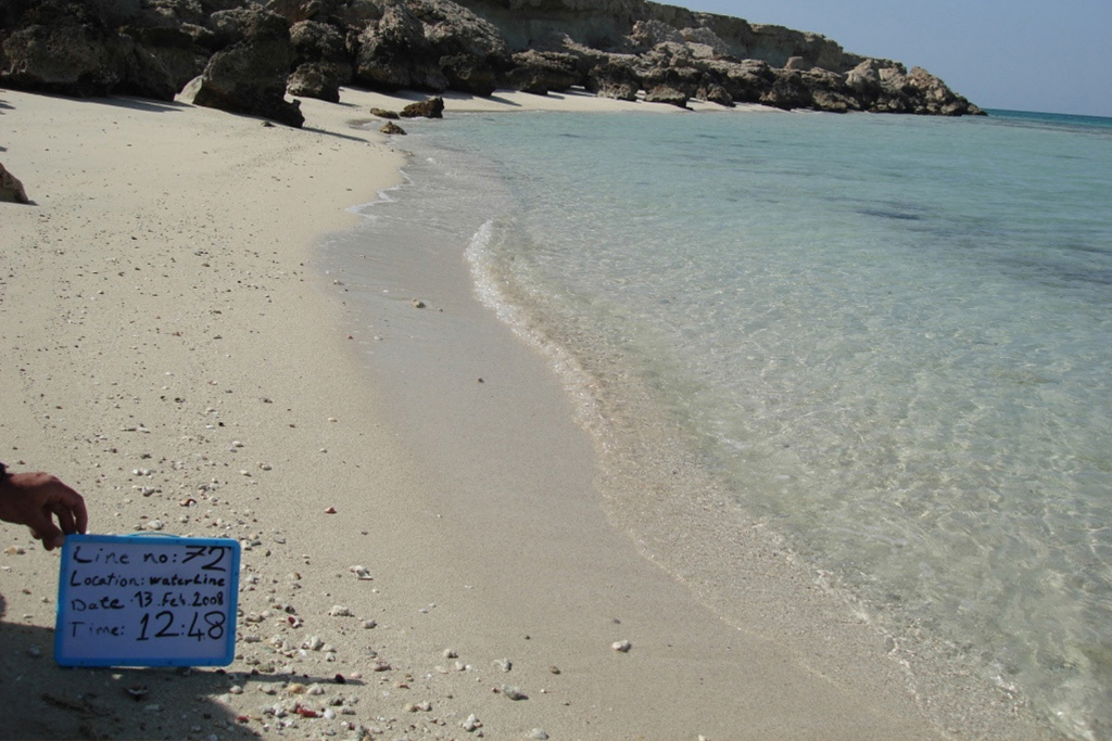
Topography, surveying, hydrographic, photography and meters depth 15 sediment sampling from hendurabi's coasts till
2LOCATION
HENDURABI ISLAND, PERSIAN GULF, IRAN
3CLIENT
JAHAD WATER AND ENERGY RESEARCH COMPANY
4THE DATE OF EXECUTION
2008
5THE PERFORMED SERVICES BY DNP
HYDROGRAPHIC SURVEY FROM ISLAND BEACHES
ISLAND HYDROGRAPHIC
BENCHMARK ESTABLISHMENT
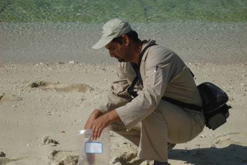
SEDIMENT SAMPLING FROM SHORELINE TO METERS DEPTH
SEDIMENT SAMPLING POINT PHOTOGRAPHY
PHOTOGRAPHY OF ISLAND BEACHES
UNDER WATER FILMING AND PHOTOGRAPHY OF CHANGED POINT
OF THE SEABED BASE ON MORPHOLOGY