Hydrographic Surveying
• Topographic data collection and topographic map preparation in all available scales
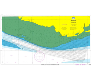
• Hydrographic data collection and hydrographic map preparation in all available scales in the sea, river and dam
• River transverse profile surveying
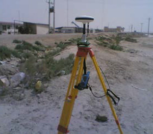
• Benchmarking via differential global positioning system (DGPS)
• Map production using surveying raw data
• Design, installation and development of GIS systems and geo databases
• Map and other spatial data digitizing with providing geo database
• Processing satellite images for producing vegetation map
• Studying and presentation of coastline changes using various data
• Combining existing data to produce useful information for new and diverse applications
• Connecting type of mass mathematical models & water engineering models with GIS
• Preparation and geometric correction of satellite images
• Map production using aerial photography